When the details matter
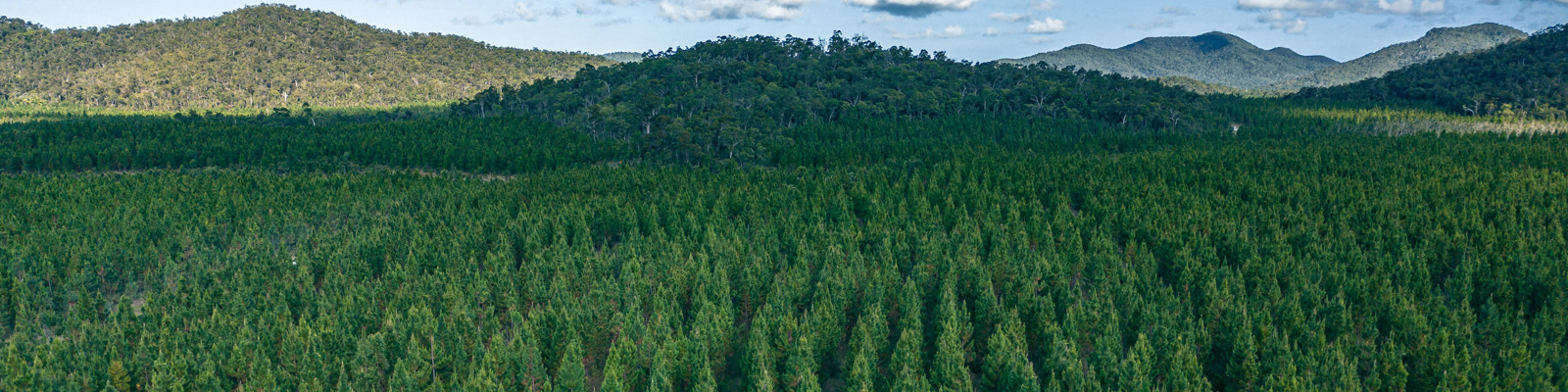
HQP's defined forest area (DFA) includes all the land we manage, including plantation production lands (61%) and custodial and infrastructure lands (39%), which totals 309,324 ha as at 30 June 2025 and comprises:
- 296,222 ha under our plantation licence with the Queensland Government
- 10,857 ha of our private property
- 2,248 ha of land rental and joint venture arrangements, including access to other Queensland Government land.
Use the interactive map below to obtain a detailed breakdown of all our plantation forests by logging area and compartment, excepting small areas of joint ventures which are managed on other private lands and sit outside of our DFA for certification purposes
How to use this map
The location of the defined forest areas are displayed in the interactive map below.
- You can search for any plantation forest by typing a nearby place or address into the search bar.
- If you are using a GPS-enabled device, you can also zoom straight in to your location by selecting the circle on the left under the home icon.
- To see the legend for coloured sections on the map, click on the three dots on top of each other near the top right hand corner of the map.
- Click on any coloured part of the map for the DFA details for any particular plantation forest.
- Click on the highlighted link for a list of forests, logging areas and compartment numbers within the district surrounding your selection. You can print or save this list.
- Map tools
-

-

-

-
-

-

-

-

-
